It seems like the next big thing in online information will be visually recording every square foot of the world so that you can see exactly what is where. This started off with
Mapquest.com and
Streetmap.co.uk with satellite images. Then moved on to Google Earth with zooming in and out. Then
local.live.com came along with a guy flying his plane at about 2,000 feet, snapping a high-res photo of every square mile from 4 different perspectives. (No, I still haven't figured out why podunk little
Bath, New York has been scanned, but... say... downtown Houston hasn't. I still have a blast
browsing the
megamansions of
Beverly Hills though.)
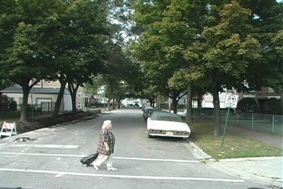
Anyway, now someone with far too much time on their hands (or an offer of exceptionally good money) has driven the length of most every street in most every major city in America, and snapped a photograph every 20 feet or so.
Say Hi Nancy. (Yes... that's her in the picture.)


No comments:
Post a Comment